Chaitén is a town in northern Patagonia that was created in the 1940s as a port to ship lumber and livestock north to Puerto Montt, 213 miles north. The rough geography of the area has always prevented a land route to be built. In 2008 it had a population of about 5,000. On May 2 of that year the nearby Chaitén Volcano erupted. It was a small mountain, and geologists figure its last eruption was about 9,000 years ago. On that day in May, it spewed a cloud of ash that over the next weeks and months grew as high as 30 kilometers, almost 20 miles. The cloud followed the natural winds east of the Andes and reached the Atlantic Ocean, and possibly as far as South Africa. Few Chilean towns were affected. Here is a photo found on the Internet shortly after:

The town was evacuated immediately as people left their houses and all their belongings, expecting to return soon. Ships took them north to Puerto Montt and east to the island of Chiloé. The ash fell in the immediate area and filled the nearby river. As torrential rains followed the eruption, the Blanco River filled with ash and could not contain its banks. It overflowed and changed its course, raging through the southern sector of Chaitén, carrying houses and vehicles to the sea. Here is another photo from the Internet which shows the destruction caused by the river:

At first the Chilean government decided to abandon the town and began to build a new one further north. Residents resisted these efforts and were able to convince authorities that it would be safe to return. I visited Chaitén recently, 31 months after the eruption. About 500-600 people have returned and are desperately trying to rebuild their lives. Water is brought in by truck and electricity is provided by individual generators, all which is expensive for people who have been without work for over two years and who have limited funds to rebuild. The following photos show Chaitén in February 2011.


The riverbanks are being reinforced though not all the houses have been removed yet. This was once a street.

And some houses survived the flood. The hotel just reopened two months ago, about 30 months after the eruption. It was relatively undamaged, but the cleanup required a big effort. Some of the back area had to be rebuilt, and Señora Silvia claims that a coat of paint does wonders! Room price is reasonable and each room has a private bathroom. My room had a clear view of the volcano and the steam clouds. Telephone (mobile) 6826 0680.

The volcano today is spewing clouds of steam but seldom ash. Lava flow was never a problem, as the lava has been determined to be the densest found in a volcano. In fact it moved upwards and caused the mountain to grow a little in altitude.

The town square is a green park that invites roaming horses to graze. Since ash had covered the entire town in the flood, any areas free of ash have been cleared, by machine and by hand.

Along the waterfront, looking west toward Corcovado Volcano. I had seen this mountain a couple of weeks ago from the opposite side when I left Chiloé island.
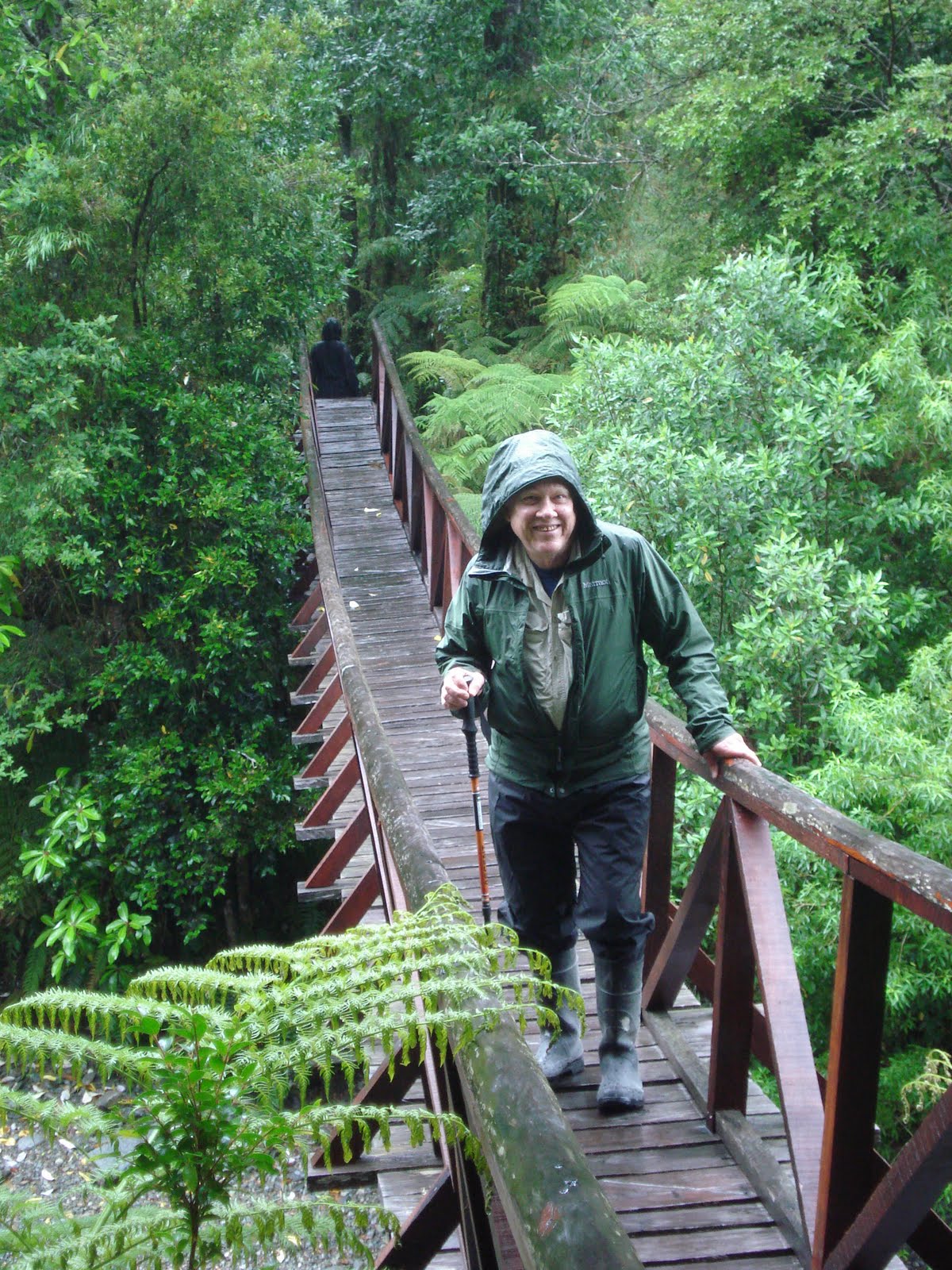
On my last day in Chaitén, I joined Nicolas who runs Chaitur, the local tourist agency, for a drive south to Villa Santa Lucía. It was one of those rare days in Patagonia when the sky is clear and the temperature unusually warm. I had traveled this 46-mile segment of the Carretera Austral more than once, but never on a clear day. This was my first glimpse of the mountains.

Michimahuida Volcano


Yelcho Glaciar, River and Lake
 Click here
 to view a video slide show with more photos
 Hostal Vista Hermosa, a friendly and clean B&B with very reasonable rates. It is close to the bus station and next door to the police station, so it is quite safe here. Owner Señora Patricia is a very warm and welcoming host.
 The view from Hostal Vista Hermosa lives up to its name: "Beautiful View."
 Most tourists visit the fish market and restaurants at Angelmó
 I didn't even get to the small restaurants that abound. I just chose a tray of freshly-steamed centolla (king crab) and a tray of raw machas (razor clams), bought a lemon, a roll and a glass of wine. Perfect.
 I recommend having a coffee after a fish lunch at Angelmó. Nearby is the tiny coffee shop/gallery Café Angelmó. Javier Mansilla is often working on a new painting while his wife Cecilia serves coffee and homemade kuchen, among other delights. Javier's paintings fill the walls of the café. I treasure one of his paintings in my home in California.
 Another favorite lodging is Hostal Trén del Sur, owned and operated by Mario Orellana. The building is constructed from recycled wood and contains antiques with train themes and historic photos of Puerto Montt.
 Joanna is a capable and helpful person at the front desk.
 The Hostal recently opened a new restaurant that features a unique menu of "slow food." Chef Paula has created dishes that will put this restaurant on the map as the most innovative in Patagonia. Prices are very reasonable. Here is Carlos preparing the tables while I work on this blog.
 But my favorite place of all is on a friendly horse far from town. Calbuco Volcano is in the background. Juan was my guide for a 20-kilometer ride near Puerto Montt.